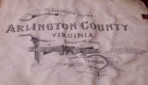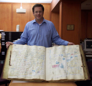
The Virginia Room recently received a wonderful donation of two 1936 Sanborn atlases of Arlington.
Thanks to the generosity of Eric Dobson and two other anonymous donors, these maps are now available to visitors to the Virginia Room:

Sanborn maps are greatly prized by researchers.
As they were originally designed for fire insurance assessment, they are color-coded and relate the location and use of buildings, as well as the materials employed in their construction. In addition, they indicate which city/county utilities, such as water and fire service, were available, the width and names of streets, and house and block numbers. As such they are a wonderful source of information regarding the structure and use of buildings in American communities.
The Virginia Room is greatly indebted to these three generous benefactors!
To see these as well as numerous other maps: topographic, street, survey, neighborhood, etc. visit the Virginia Room at the Central Library.
What About You?
Do you or any of your family members own old maps of Arlington? Do you remember when your house got new utilities, or if you changed addresses without moving your home? If you do, let us know!